Monitoring Information
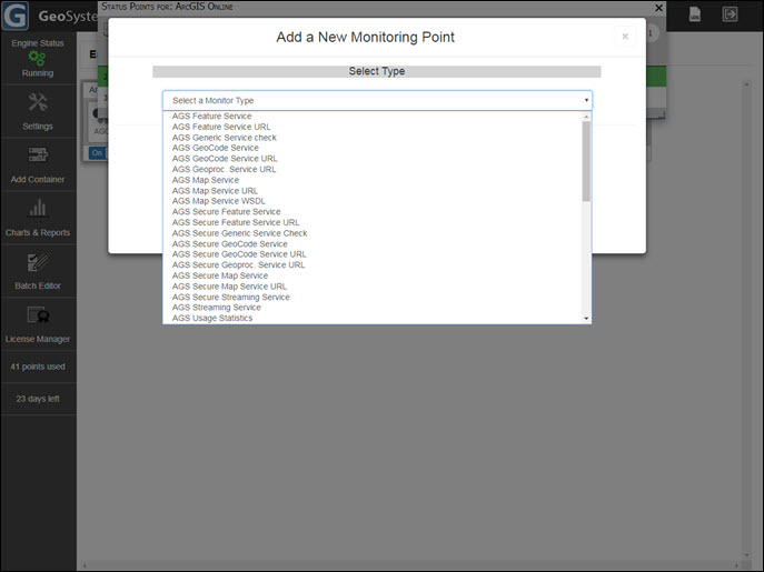
GeoSystems Monitor can monitor an ever-expanding list of GIS services and applications. Custom monitoring points can easily be created with python scripts, as well (for example: monitoring custom geoprocessing services, file transfer speeds, and more).
Sample list of monitoring points:
ArcGIS for Server Services
ArcGIS Online Services
ArcGIS Online Web Maps (includes organization content and external data sources)
ArcSDE Services
ArcSDE Layers
ArcIMS Services
ArcSDE Usage Monitoring and Usage Statistics Reporting
ArcGIS Server 10.1+ Usage Monitoring and Usage Statistics Reporting
Web Applications
WCS Services
WFS Services
WMS Services
Secure Services
Oracle Geodatabases
SQL Server Geodatabases
Postgres Geodatabases
Geodatabase Replication
Windows Services
Windows WMI Checks
Rest Services
RSS Feeds
License Manager Module (ex. Esri®, AutoCAD, FME or most any application that utilizes FlexLM® license Software
CLICK TO ENLARGE THUMBNAIL